
GIS Training
GIS (Geographic Informatic System) Course
ENROLL NOW
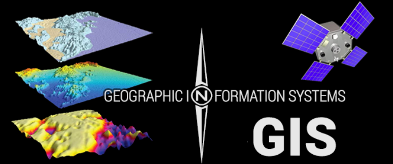
GIS (Geographic Information Systems). GIS is a mapping technology that allows the user to create and interact with a variety of maps and data sources GIS can show many different kinds of data on one map. This enables people to more easily see, analyze, and understand patterns and relationships..A geographic information system (GIS) is a computer system for capturing, storing, checking, and displaying data related to positions on Earth’s surface.
Course Details
- Geo Referencing
- Google Earth Imaginery Referencing
- MAP Digitizing
- Attribute Table
- Topology
- Contouring
- Geo Data Base
- 3D Animation
- Special Adjustment
- Advance Drawing Tools
Our team of creative experts who are dedicated towards creating professionals who assist in solving day-to- day human issues that has an adverse effect in the ecosystem. At the end of the course, we empower individuals to become experts, who can work confidently in catering the technical knowledge and skills that have acquired in various private and government organizations as well as corporate houses and research institutes.
The trainees will be able to deliver excellent skills in various sectors of their employment as required be it data capturing to applying software use to input and processing as well as extracting and modelling along with visualization and data interpretation. We craft a platform here to candidates who are interested in building their career in the GIS sector.
Know More about Course Duration, Sessions and latest offers
Enroll Now